
Pipeline Corridor Mapping
>200 km corridor LiDAR & orthos — design surfaces, clearances, and as-built checks.
Recent work across corridors, urban environments, mining, and water — delivered with survey-grade accuracy and transparent QA/QC.
Open our Sample Data Portal — preview orthophotos, point clouds & 3D tiles in your browser.
>200 km corridor LiDAR & orthos — design surfaces, clearances, and as-built checks.
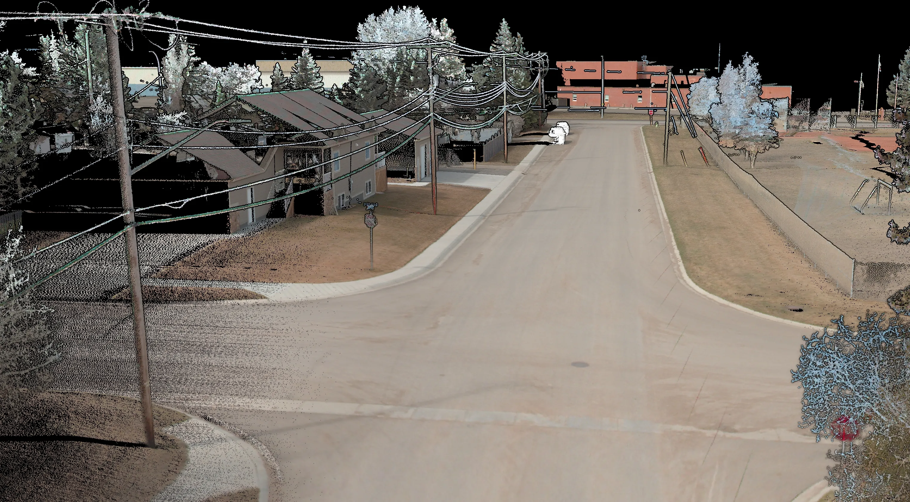
Mobile LiDAR mapping for detailed topo, 3D models and asset management.
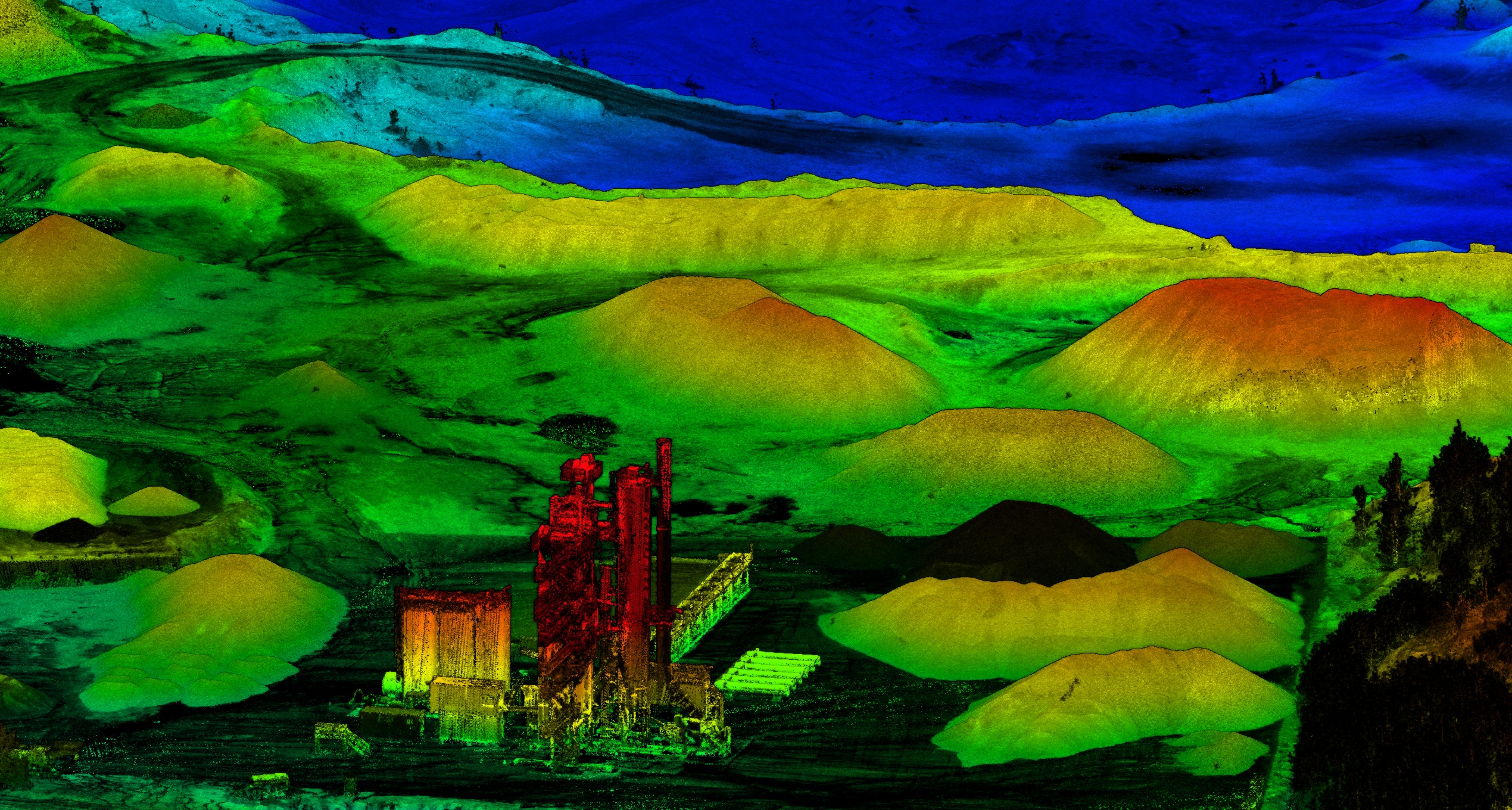
Mining quarry volumes and cut/fill progress surveys.
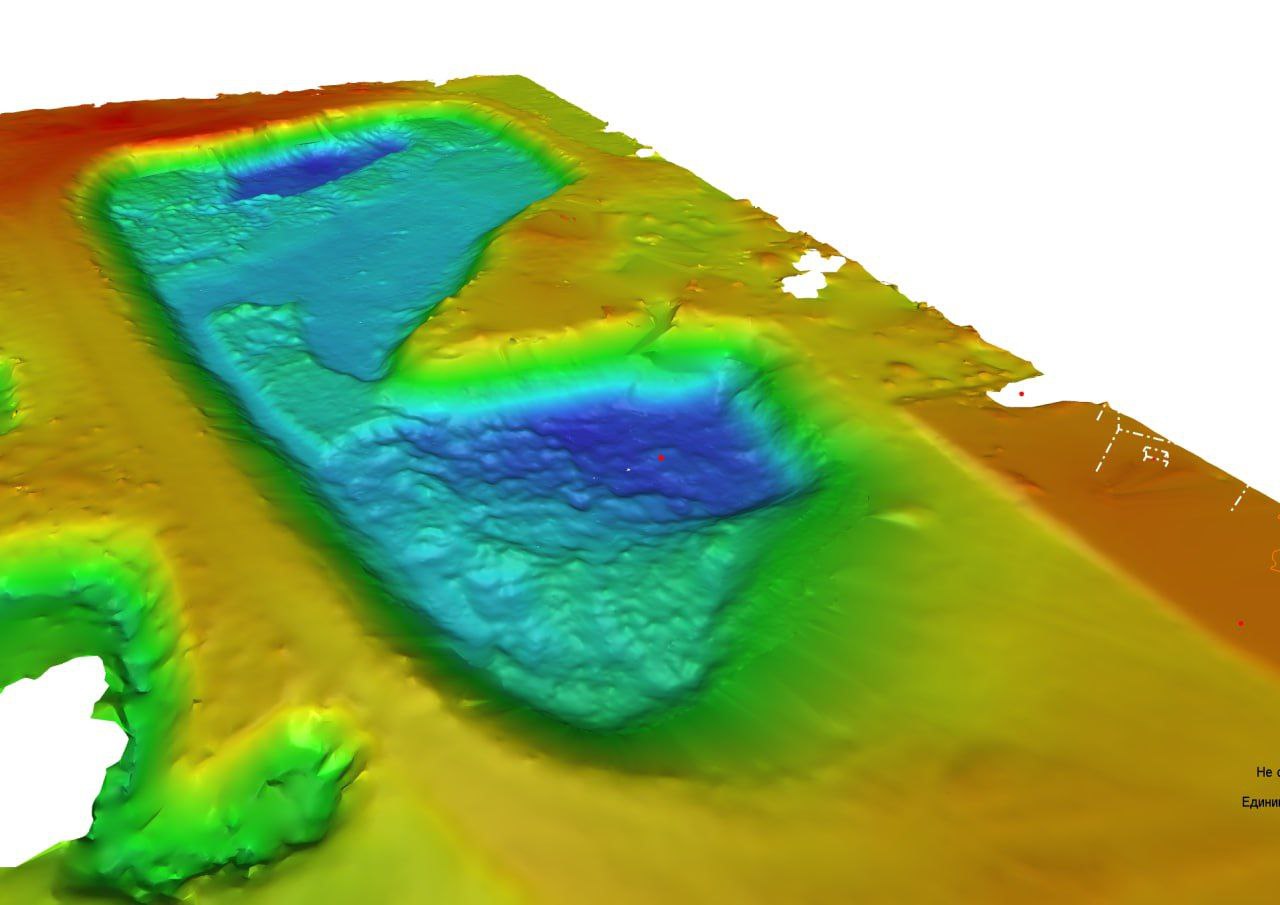
Single-beam soundings merged with aerial LiDAR for banks.
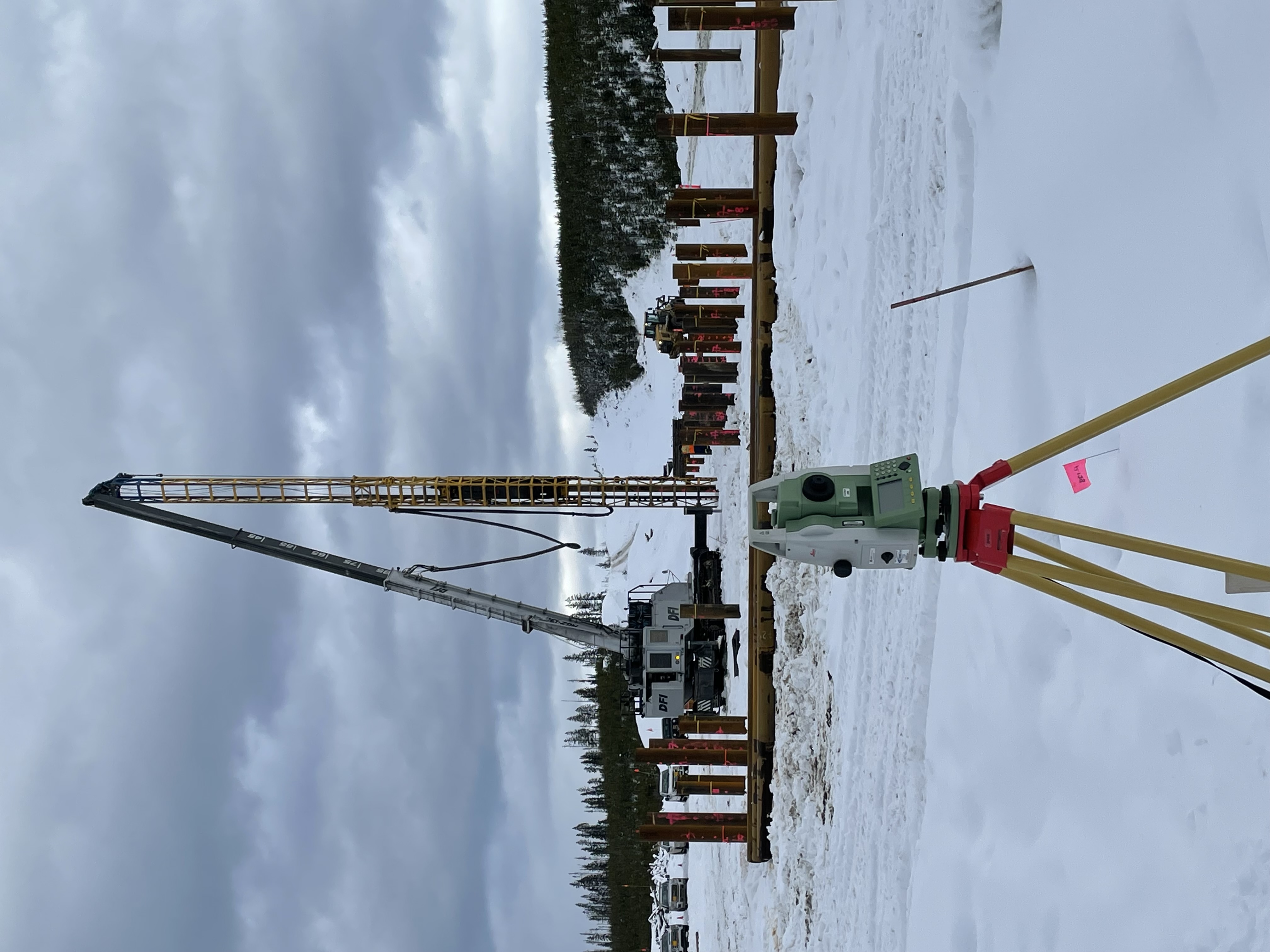
High-precision pile layout using TS control with QA checks and as-built reporting.
Repeat LiDAR/TLS with time-series dashboards and displacement heatmaps.